
Rocky Mountain National Park, CO August 2010
Just show me the Best Pictures The Best
Pictures and Descriptions. (Scroll Down)
I want to take this trip, what details should I know? Details and Trip Planning
Always listed in Top 10 lists of National Parks in the US for a Reason. Rocky Mountain National Park is less than 2 hours from Denver and a must see for anyone that like National Parks. A day of hiking, a scenic drive, and another day of hiking rounded out this 5 day trip quite nicely. With only three days in the park we were only able to see the most popular sites, but they are the most popular sites for a reason.
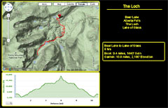
My birthday gift this year was a Garmin GPS watch. I've added a link to see the original on the Garmin site or a quick graphic with just the highlights.
The Loch hike
Garmin Hike Details Garmin
This is probably the second most popular hike in the entire park, so all of the recommendations about going early to avoid crowds apply as you would expect. On the other hand, its popular for a reason. An incredible view of the Loch Lake, with the option to continue on to Sky Pond if your legs are up for it.
Our originally intention was to make a "Grand Loop" and return via Haiyaha and Emerald Lakes. Not a good idea in retrospect. That would be and extremely long hike. Far better to just due a hike to Sky Pond and back if you have energy. With the the full loop as the starting intention we started off at the Bear Lake Parking lot which added about a 1 mile (the last of it uphill) to the round trip. Skip Bear Lake or just drive there direct if you want to see it as its only yards from the parking lot and save yourself the mile. Of interest is the difference in the elevations between the book values and the Garmin. This is where it really shows that the book elevations simply subtract the high and low point without consideration for any up and downs along the way.
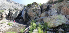
One item none of the guide books mention is that the last 50' of the hike to Sky Pond is more of a scramble than a hike. To add to this is that depending on the weather, there may also be a small stream directly in the path. This actually put a stop to my trip. I was tired, the rocks were wet, and I was thinking it would be a really bad place to twist and ankle. So I did not get to see Sky Pond. At least it gives me something to look forward to next time.
Simply incredible, just go.
1. Location and Stats
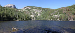
2. Bear Lake
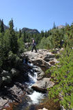
3. Upstream of Alberta Falls
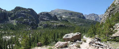
5. First view of the Loch with Andrew Glacier on the right.
6. Female Elk crossing the Lake
7. The Loch
8. A male Elk following the ladies
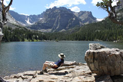
9. A seat with a view. You can just make out the waterfall to Sky Pond under the Snow field to the left.
and yes, the chair only has 2 legs.
10. The last 1/4 to the Falls is all uphill
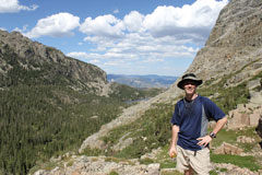
11. At least there was someone up there to take my picture
12. The Falls and the scramble to the top
 1 |
 2 |
 3 |
 4 |
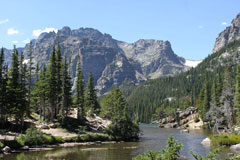 5 |
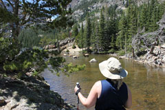 6 |
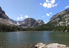 7 |
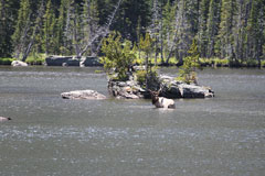 8 |
 9 |
 10 |
 11 |
 12 |
Ridge Road Scenic Drive and hikes
After the monster hike from day one, we decided something a little easier on the feet was called for on day two. A scenic drive up Ridge Road was just the ticket. Of course, being us, we did have to get out of the car for some short walks, but nothing excessive.
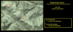
I didn't take the Garmin this day so I've done a best guess for the location map. Originally I had not planned on trying the Ute trail as the guide book listed it as a one way 7 mile downhill hike that is best with two cars. After walking part of the trail, I think it would make a wonderful 2+ mile out and back hike. The first 1-2 miles staring from ridge road are almost flat and its only at the end of tombstone ridge that the elevation readily starts to go down.
1. Location and Stats
2. Horseshoe Valley. If you look close you can see the road on the left wrapping up the mt.
3. From the Overlook you can see the valley you just left 20 mins ago.
4. Ute Trail
5. Ute Trail
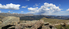
6. From the Top of Tombstone Ridge
7. Tundra Communities Hike
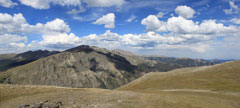
8. Tundra Communities Hike
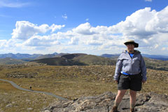
9. Tundra Communities Hike
 1 |
 2 |
 3 |
 4 |
 5 |
 6 |
 7 |
 8 |
 9 |
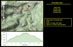
Emerald Lake Hike
Garmin Hike Details Garmin
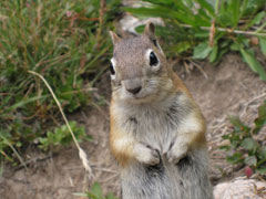
This is listed as Thee most popular hike in the park, but once again for good reason. At a 3 mile round trip it's incredible, and no the picture of the chipmunk did not use a zoom.
Of interest to other people taking pictures, all of these were taken by the $250 Cannon Digital Elph point and shoot camera. I was so tired of carrying the bigger DSLR over the last 2 days I wanted to see if there was any reason. After comparing the pictures I am thinking no. When taking pictures in daylight, and of non or slow moving subjects there is really no difference at any reasonable zoom levels.
1. Location and Stats
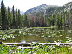
2. Nymph Lake
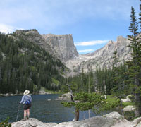
3. Dream Lake
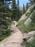
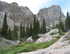
4. The Trail
5. One of the Locals
6. The Trail
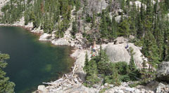
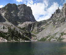
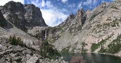
7. Emerald Lake
8. Emerald Lake
9. Emerald Lake
 1 |
 2 |
 3 |
 4 |
 5 |
 6 |
 7 |
 8 |
 9 |
